Southington is one town with several village names inside it, and using them correctly is a small thing that signals whether somebody actually knows the place.
Plantsville, Marion and Milldale are real local place names with their own greens, addresses and identities, and Plantsville in particular is used freely in conversation. What none of them is is a substitute for Southington in an address or a service description. A proposal that treats Plantsville as a separate town, or that treats a Plantsville address as somewhere other than Southington, has got the geography wrong in a way a resident notices immediately.
The same care applies to the trail that runs the length of the town. The Farmington Canal Heritage Trail, known locally as the linear trail, connects a lot of the town's open ground and its greens, and it is the sort of continuous corridor that lets birds and people move between sites that look separate on a parcel map.
None of this changes the fieldwork. It changes how a plan is written and who is talked to, and on a job that spans more than one part of town it is the difference between a scope that fits and a scope that reads as though it were assembled from a distance.
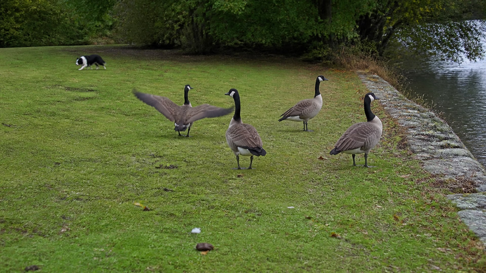
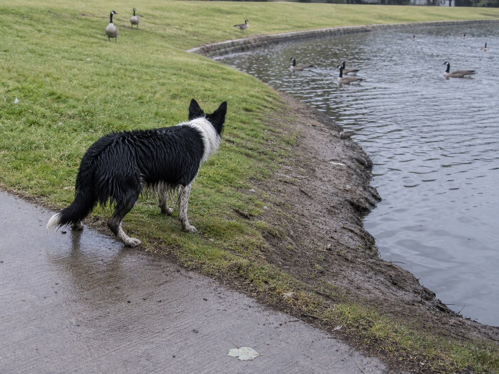
For anything physical near water, the wetlands process applies as it does everywhere. Moving birds off maintained turf with a dog is not a regulated activity, while planting a buffer or building at a water's edge can be, and on shared or supply water that question has more than one authority attached to it.